Calgary is one of the hottest places to invest in real estate property today. With the expected increase in home prices by the end of 2022, property owners were reaping the benefits of their purchases years ago.
Moreover, the housing market in this Canadian City is consistently gaining a healthy rise, even though it suffered a recession period before the pandemic. Experts predict the price of residential houses will increase by 8% at year’s end.
That is why if you want to invest in a Calgary home, now is a perfect time.
But before you do, make sure you have the best Calgary survey company to check your prospective property and determine its boundaries. A land survey will help you avoid future problems, which can be costly, time-consuming, and stressful.
So, how does a land survey work?
Steps in the Land Survey Process
Surveying a property that interests you holds a vital role in a property purchase. But the process doesn’t just start and end with a site visit.
A land survey is a complex procedure that only a reliable Calgary survey company can achieve correctly. So, when you go with the team, don’t be surprised to see modern and elaborate equipment on-site or by the time it takes them to finish.
Here are the steps involved in surveying a piece of land to be better informed.
● First, the surveyor will retrieve all necessary documents related to the lot in question, which they will read and interpret to determine the property lines. These documents include existing deeds, wills, and other property information like maps, which surveyors can acquire from the current owner and the city records office.
● They will also look for physical evidence of the lot’s borders, such as fences, boundary stones, or landmarks. This step can be challenging, especially when the property has been transferred to different people or if the property is an older property..
● Next, using the gathered information and physical markers, the surveyors will start the base survey plan and establish the actual boundary of the property using a computer and drafting software.
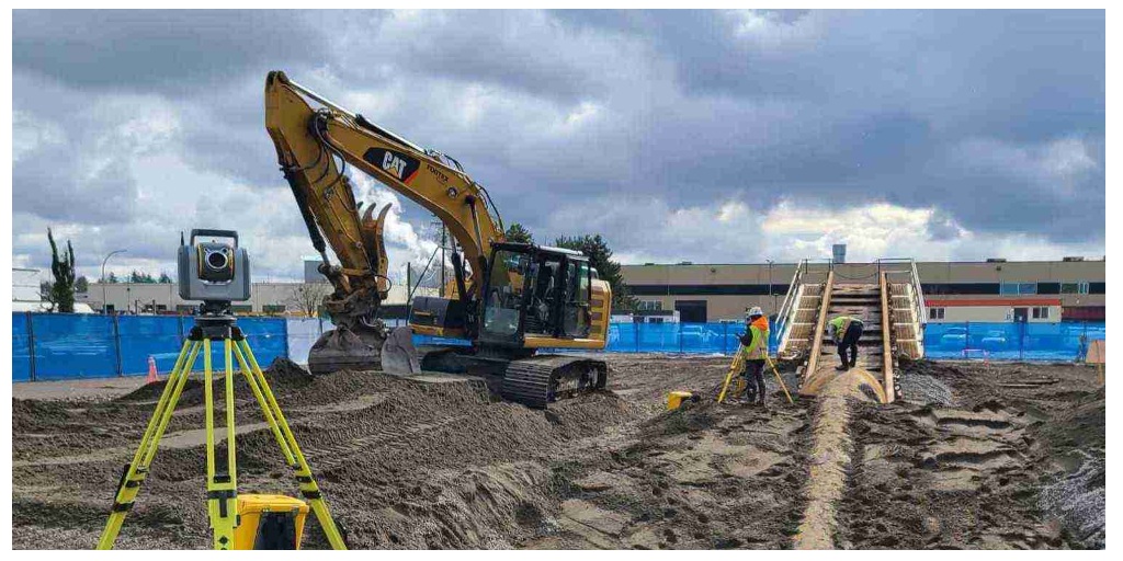
● Then comes the field survey. This step involves using special equipment, including a theodolite, altimeter, and a GPS, to accurately measure the boundaries and identify the different topographic features of the land.
● After determining the boundaries, the surveyors will then place new markers to establish the property’s actual boundaries and create the property description based on their survey. The legal report should include delineation of the topography, property markers, existing buildings, and other structures within the survey line, and the lines’ relationship to the connecting lots’ official surveys.
Since surveyors measure the exact boundaries and features of the property, it’s understandable how the process can perplex the average joe. Because every measurement must be exact, this can be a timely process depending on the size of the land.
When you have a team of qualified surveyors on your side, you can rest confident that the Calgary lot you’re considering is accurate. Then you’ll know whether or not it’s a risk you’re willing to take.


